

HIKING TRAILS
- 25-09-2019
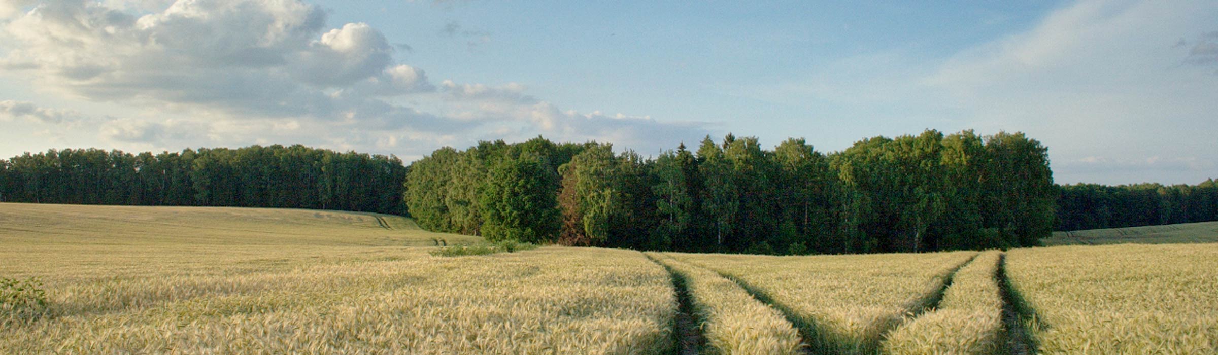
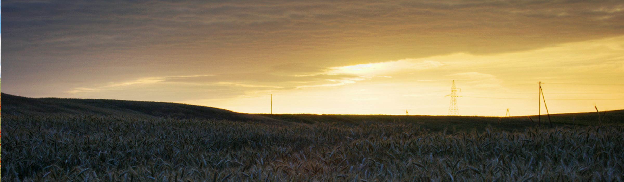
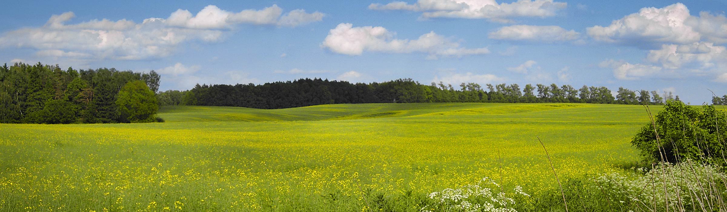
In the Nowe Miasto Lubawskie commune you can find many charming and picturesque places. There are also historical places and others, where you can find interesting specimen of nature. To make it easier for pedestrians to move around and reach such places there have been marked tourist routes. Two of them run through the area of our commune. They are:
- the yellow trail - (number TO-231) leads from Toruń, along the Drwęca Valley, through the Brodnickie Lakeland to Radomno where its extension leads to the Iławski Lakeland. The yellow trail is a fragment of the European trail connecting Germany and Lithuania, which is marked in international censuses with the code E-11, and runs through Poland from Słubice to Ogrodnik! The trail "enters" the commune on the western shores of Skarlin lake (about 147 km from Toruń, about 20 km from the village of Ostrowite and about 13 km from the village of Łąkorek). The trail leads along a dirt road about 2 km to the village of Skarlin. At the beginning this section has a broad view of the elongated gutter of Skarlin lake. In the center of the village behind the church the trail turns left and leads along the road after another 2.5 km to the village of Lekarty. Here the signs leave the road and follow the field road northeast towards the visible at the bottom of Gryźliny lake, and then along the southern shore of the lake to the east to the village of the same name. From Gryźliny the trail leads from the church along a road among fields. After crossing the dismantled railway line Iława - Nowe Miasto Lubawskie it reaches Radomno from the west. In Radomno (160 km from Toruń and 13 km from the entrance to the commune) the trail leads to the southern edge of the Radomno lake. Through the bridge on the lake leads to the settlement of Nowy Ostrów and after about 1 km leaves the commune. After. approx. 9 km along the Ruda River, the Katarzynka forester's lodge, the Czerwony and Łąckie lakes, all the time among forests, it leads to Iława. Through the commune the trail runs for approximately 15 km.
-the red trail - (number TO-2215) connects Nowe Miasto Lubawskie with the yellow trail of the Drwęca valley described above, and through this trail with the Brodnickie Lake District and the Iława Lake District. The trail leads from Nowe Miasto Lubawskie to Radomno and is about 13 km long. The trail begins near the former PKP Nowe Miasto Lubawskie station where there is now a bus station. Almost immediately after about 1 km it enters the commune. For the first 3 km it leads all the way up the road to Nawra. In many places, among others the square of the monument to the fallen and murdered in World War II offers extensive views of the Drwęca Valley. About 2 km behind Nawra, it turns right and through a field road, through an undulating field small forests and meadows lead north to Nowy Dwór. From here, again, along the road through Chrosle, it continues north to the center of the village of Radomno.